 PalperDrone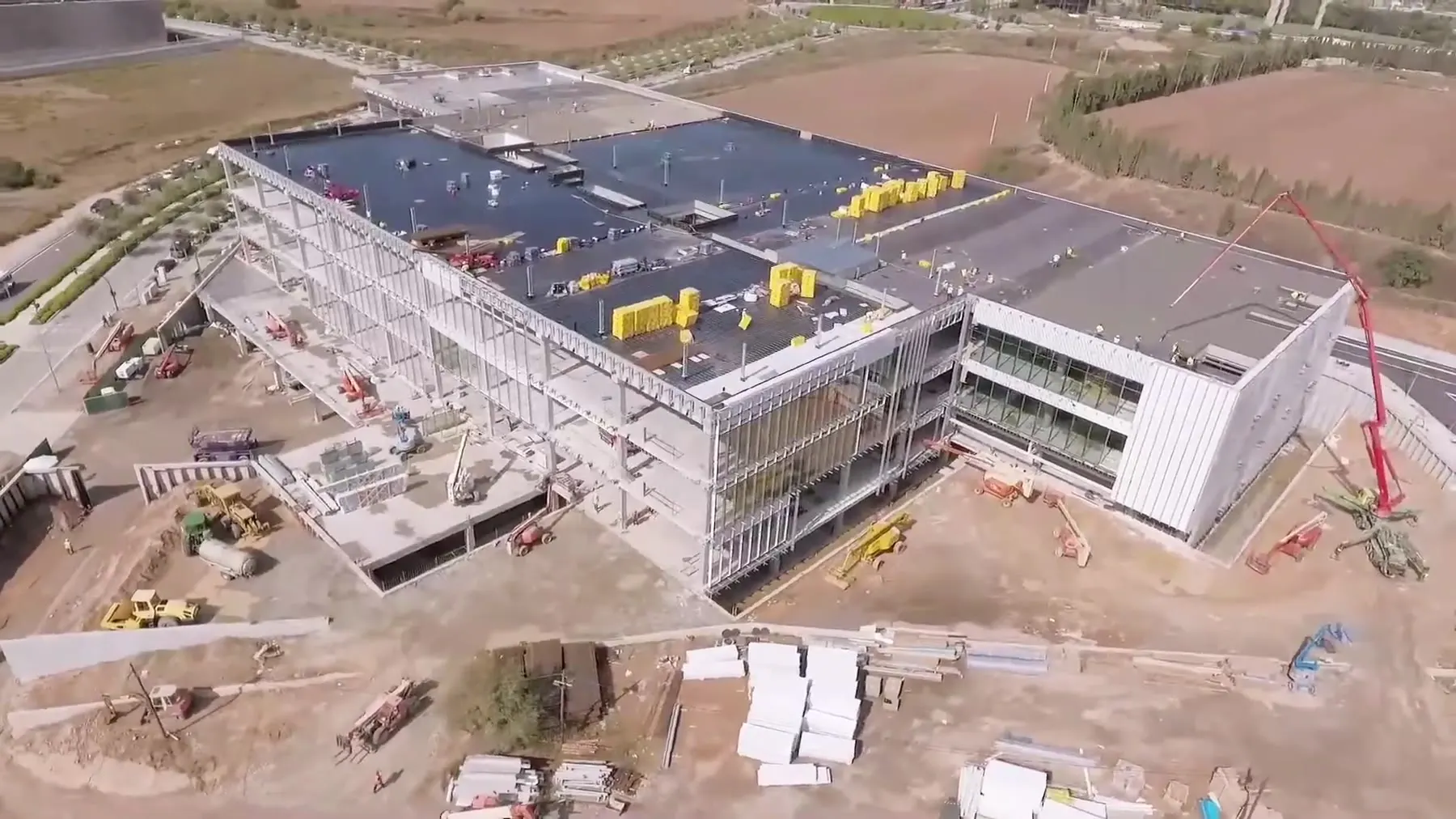
01
Progress photos and video
Aerial images of every phase, to document the state of the site and share it with your team or your client. Repeated at regular intervals, they let you compare how things are changing.
Document and measure your construction site or your land from the air, without having to reach every point. I'm a drone pilot with over 6 years of experience.
From the air you can see the state of a construction site, a roof or a structure without physically reaching every point. I do aerial photography and video, 3D models, orthomosaics and measurements on the image, as well as mapping and photogrammetry of the terrain, all over Catalonia, based in Girona.
Aerial images of every phase, to document the state of the site and share it with your team or your client. Repeated at regular intervals, they let you compare how things are changing.
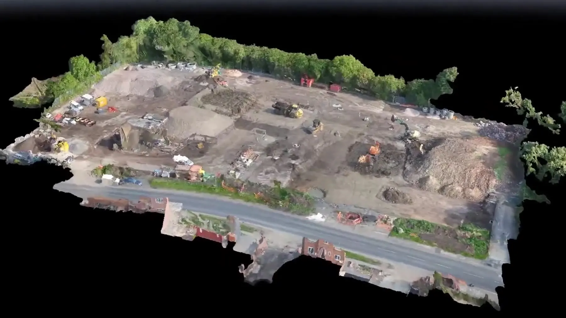
A complete view of the plot or the structure, so you can understand the whole thing at a glance. It lets you check hard-to-reach areas without going there.
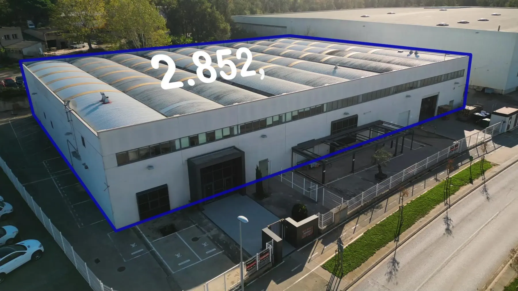
Areas and distances measured on the aerial image, as in the warehouse video. You avoid measuring on foot and save on travel.
Photogrammetry turns the drone's aerial photos into maps and models of the terrain. It's used on construction sites, quarries and land that needs measuring without walking every point.
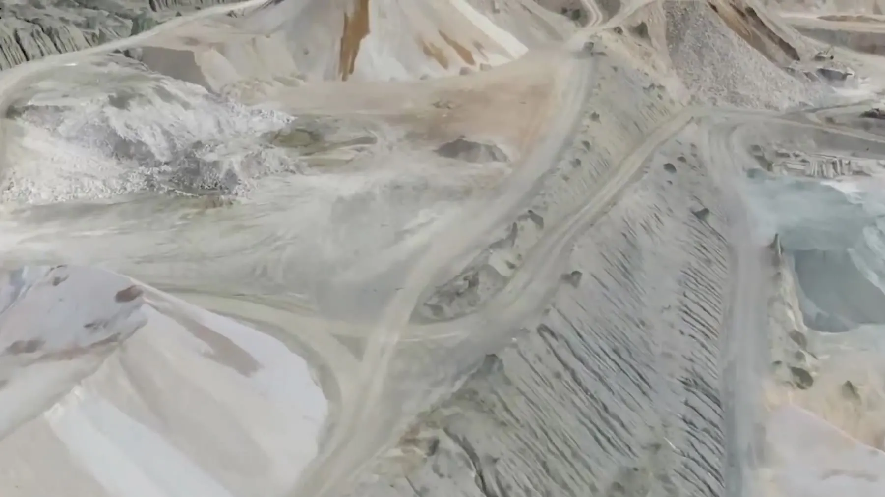
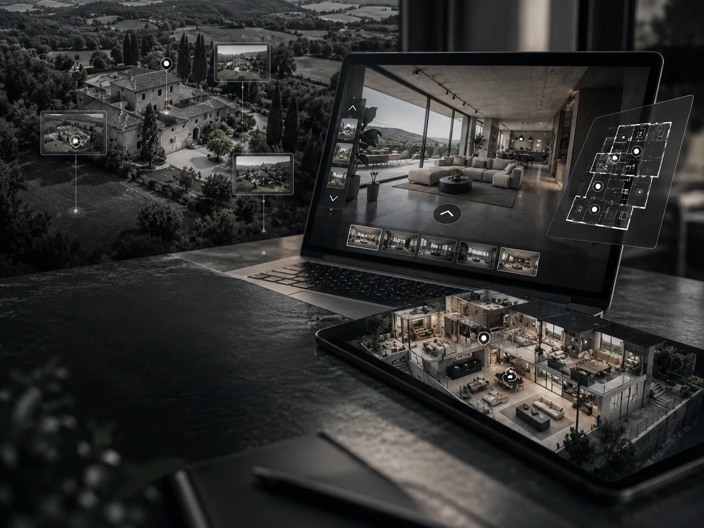
An aerial image to scale and a three-dimensional model of the terrain or the building. It's the basis for measurements and maps.
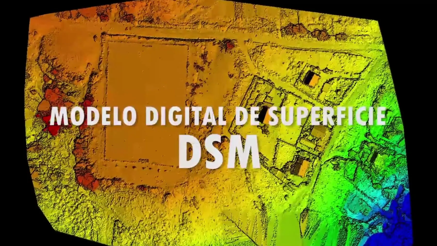
The relief with everything that sits above the ground, such as vegetation, buildings or stockpiles. It shows the surface just as it is.

The bare ground, without what's on top of it. It's the reference for studying the relief and planning earthworks.
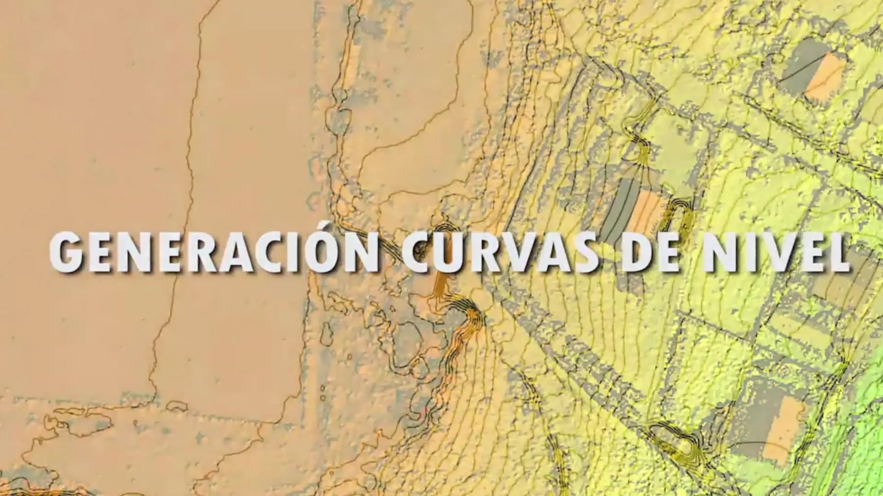
The relief drawn as lines of equal height, generated from the drone's photos. You see the high areas, the low areas and the slopes at a glance.
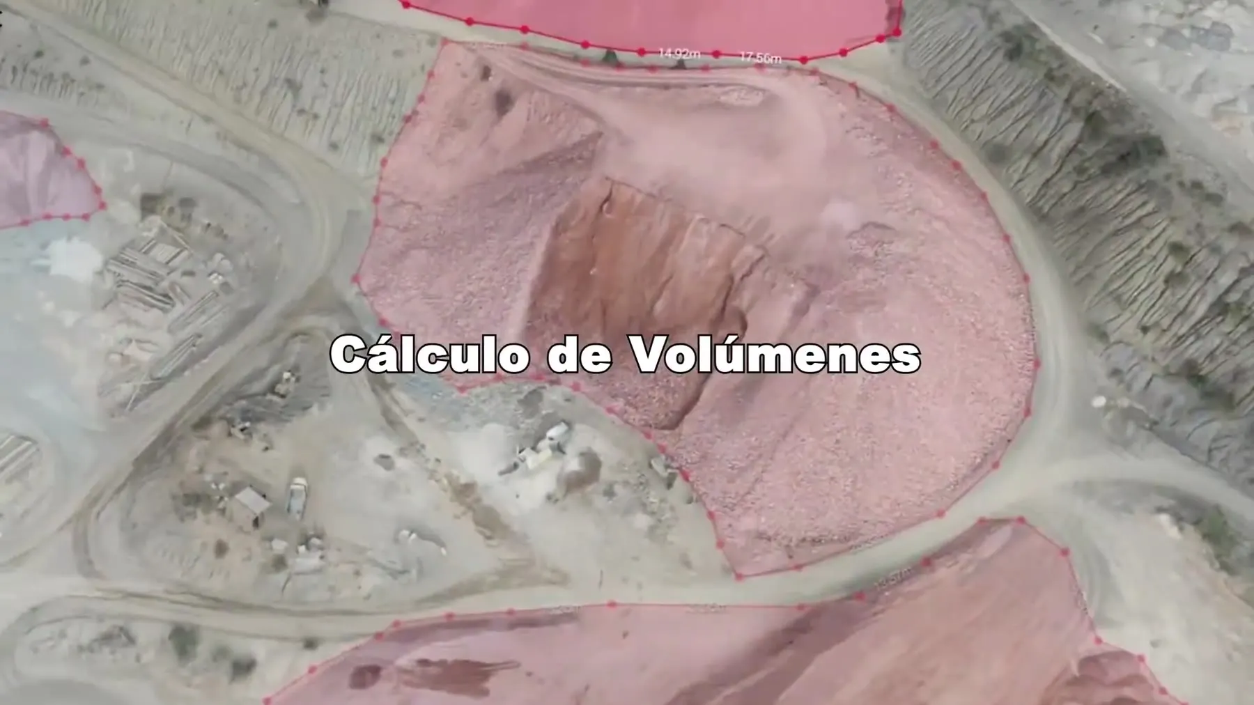
Measuring stockpiles, excavations and earthworks from the terrain model. Repeated on several dates, it shows how much has changed.
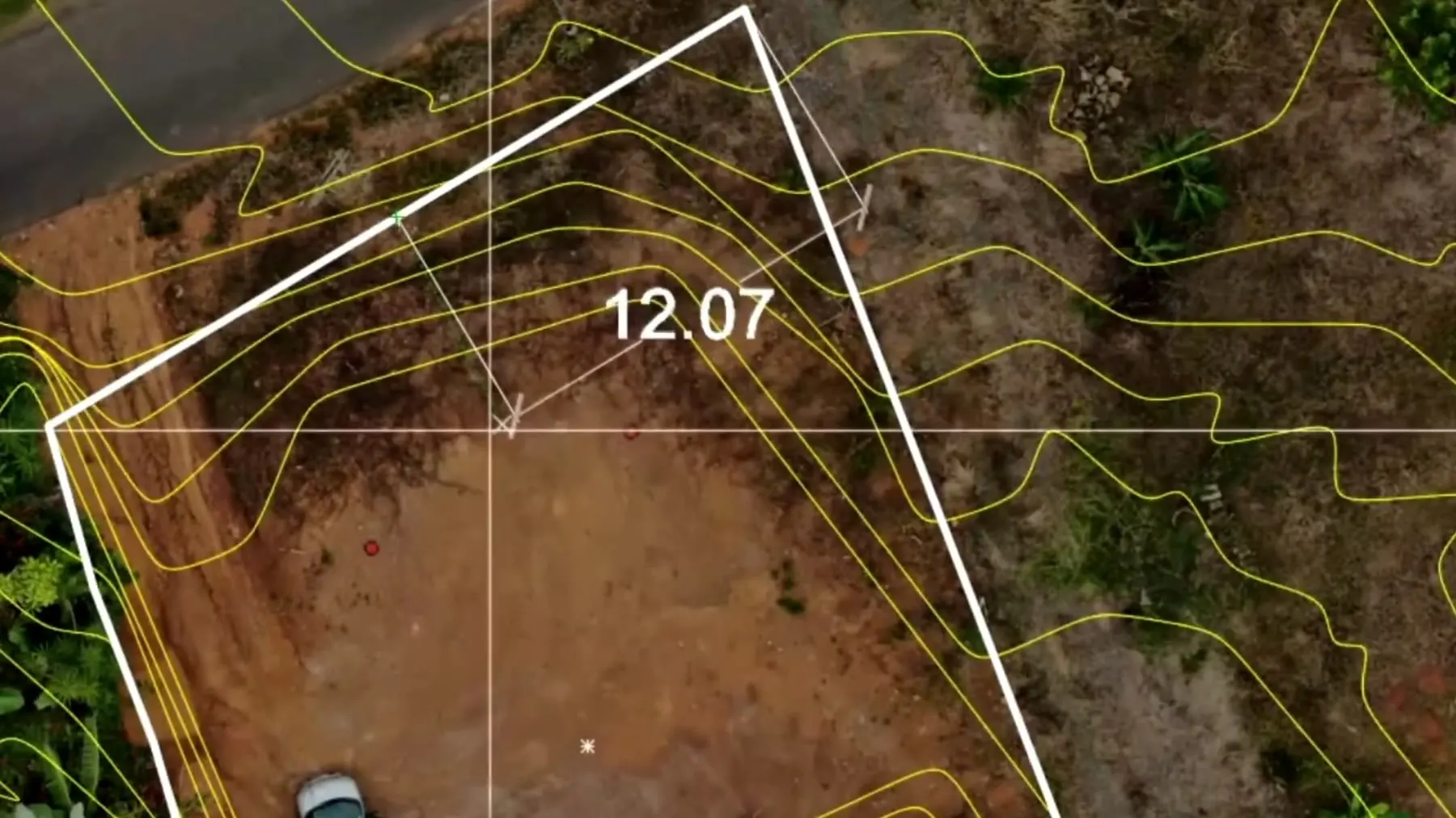
Distances and areas measured directly on the map, without having to walk the land.
Leave me your phone number or your email (one is enough) and I'll get back to you as soon as I can.
Every site and every piece of land is different. Tell me what you need to monitor or measure and I'll send you a fixed quote before I start.
I'm based in Girona and I travel all over Catalonia, with no limit on distance.
It lets you see the state of the site, the roofs or the structures from the air, document progress and spot issues without having to physically reach every point.
Progress photos and video and, depending on what you need, a 3D model, an orthomosaic and measurements on the image. We agree it before I start.
You choose based on the site: a one-off visit, or regular ones (weekly, fortnightly or monthly). We agree it in the quote.
It's a technique that uses overlapping aerial photos to generate maps and 3D models of the terrain, so you can take measurements from them.
The DSM (digital surface model) includes everything above the ground, such as vegetation or buildings. The DTM (digital terrain model) shows only the terrain itself. Depending on the project, I deliver one, the other or both.
To measure stockpiles, excavations or earthworks from the terrain model.
It depends on the terrain, the method and the control points. I'll explain what accuracy you can expect in your case before I start, and I don't promise figures without knowing the job.
It depends on the size of the site or the area, the number of visits and the deliverables. Tell me about the project and I'll send you a fixed quote.
Yes, I work all over Catalonia, based in Girona. If it's outside Catalonia, let's talk.